Forecast models have been jumping around on this pattern so low confidence in this. Models show from 2-24 to 2-28 that we get a strong ridge of high pressure (see map below). This pattern would tend to bring below normal snowfall and close to normal to perhaps slightly above normal temperatures.for the mountains
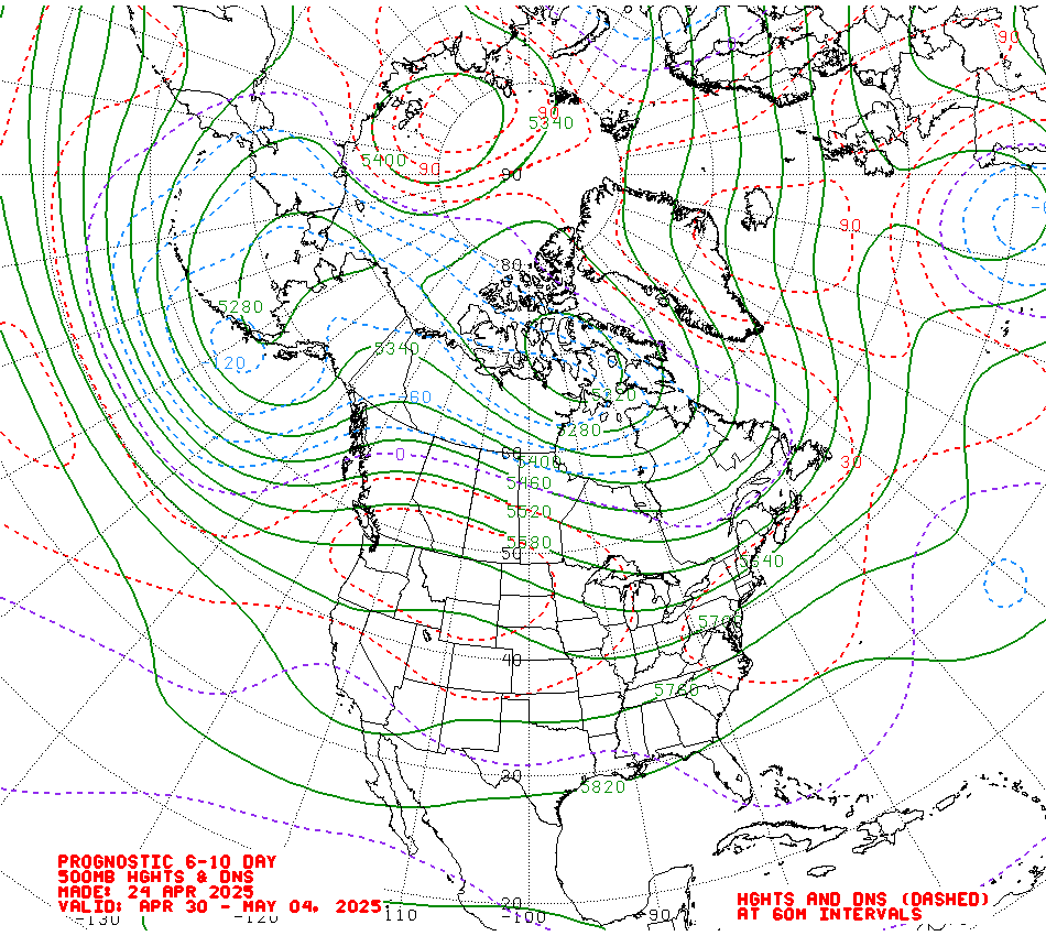 | ||
| 500 mb map at 18,000 feet show a big ridge of high pressure over the West Coast Custom Weather Services from Weather Experts
|
No comments:
Post a Comment