In the middle of January there was great concern regarding the extremely low snowpack in the Washington Cascades. Since that time the Washington Cascades has received heavy snow, especially over the last several weeks. So now most locations in the Western Washington Cascades the snowpack is close to normal.
What is the extended forecast? For the period (March 5 to March 11 forecast models are showing an upper level ridge (see map below). Thus, we should have close to normal temperatures and normal to below normal precipitation.
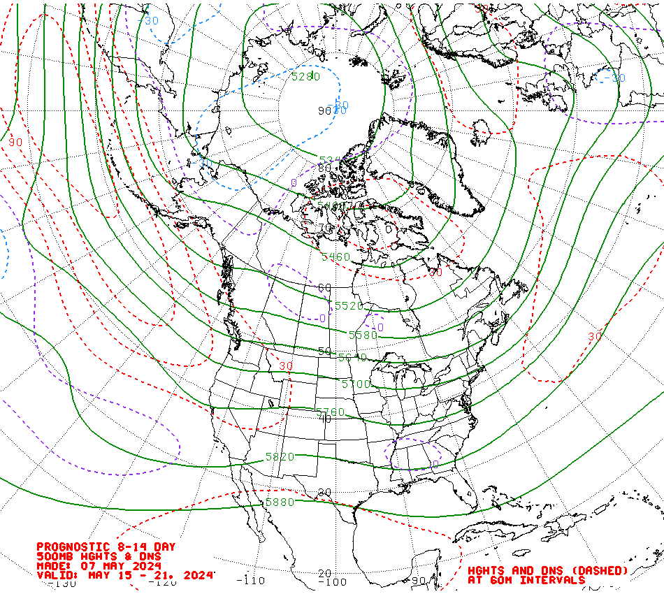 | ||
| 500 mb map -18,000' for March 5 to March 11 Custom Weather Services from Weather Experts
|
No comments:
Post a Comment