Forecast models bring the pattern of above normal precipitation and below normal temperatures and this should be the pattern through 2-25-2014. Thus, we should be adding to our snowpack in the Cascades.
The map below shows a trough of low pressure to the northwest of Washington and this will be the pattern over the next 14 days or so. Thus, troughs of low pressure will drop down from the Gulf of Alaska at times and bring moisture and cooler air into the Northwest.
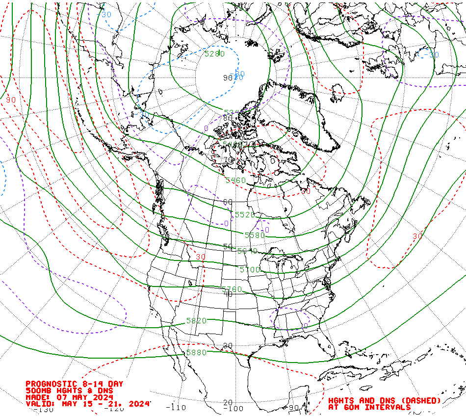 | ||
| 500 mb at 18,000' average position from 2-19 to 2-25 Custom Weather Services from Weather Experts
|
No comments:
Post a Comment