Updated 11-6-2012
Two Ports and a Fort
We have a trio of areas to hike, Port Gamble, Port Ludlow, and Fort Flagler - all near the Hood Canal bridge and a surprisingly short distance from Seattle.
 |
| View from the Edmonds/Kingston ferry. |
Check out Green Trails Maps for directions. Click here for complete list of maps.
First stop is Port Gamble
 |
| Entering Port Gamble - first of three hiking areas. |
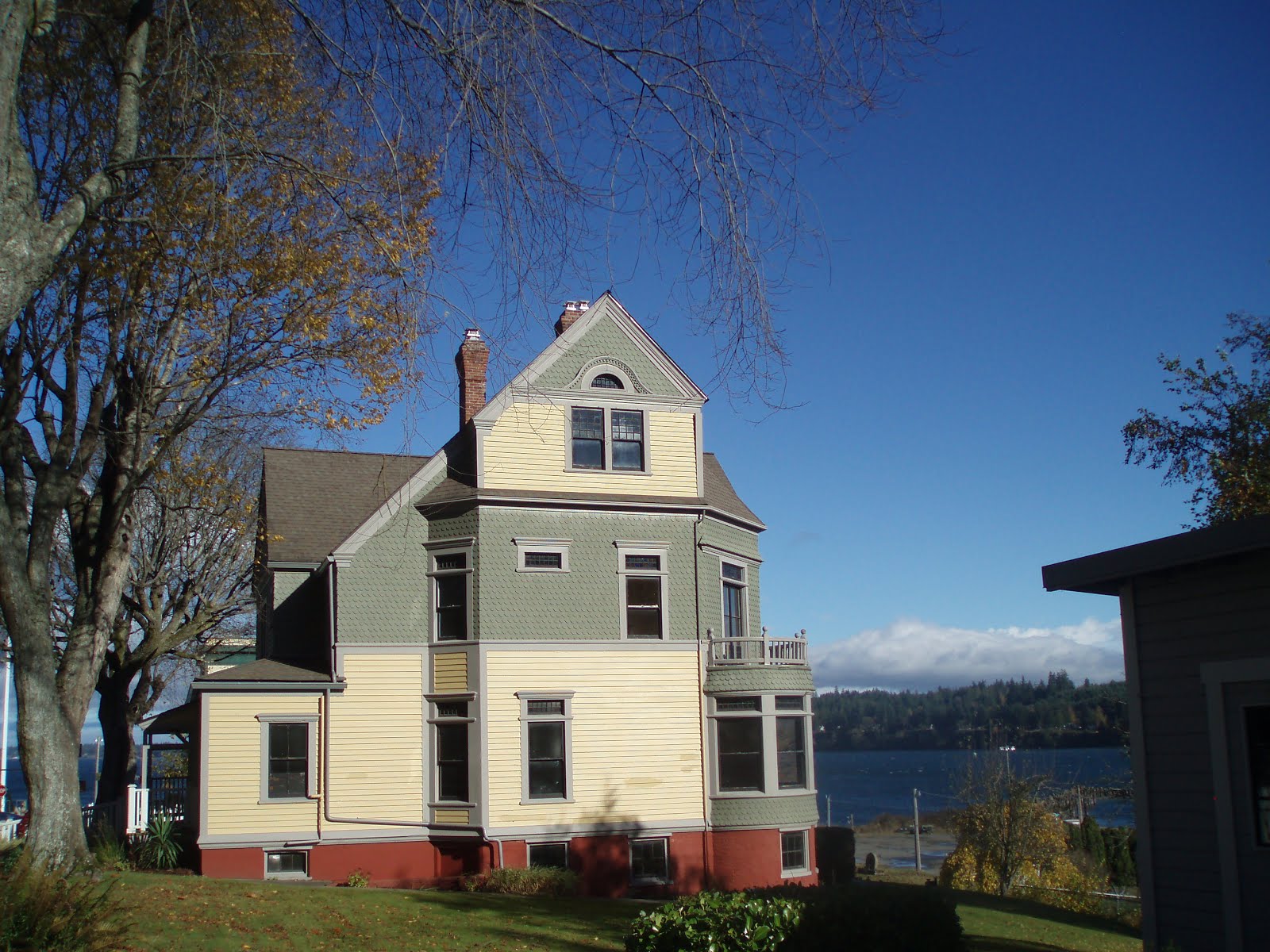 |
| Historic homes in Port Gamble |
 |
| Walk near the bay - Port Gamble |
 |
| Uplands Trail - Port Gamble |
 |
| Pond on the Uplands Trail |
Second stop - Port Ludlow
 |
| Waterfalls - Port Ludlow trail |
 | |
| Beach Loop Hike -Port Ludlow |
Third stop - Fort Flagler
 |
| Walking along the beach - Fort Flagler |
 |
| Trail to the beach - Fort Flagler |
 |
| Deer looking for a picnic - Port Ludlow |
Directions to Port Gamble: From Seattle go to the Edmond Ferry to Kingston. From Kingston drive on Highway 104 West and drive 8 miles and to get to Uplands trailhead which is on the left side of the find and turn left. There is a sign (Sign says Uplands Trail) at the road that has a open gate. This turnoff to the road is just before MP 17 which is about 1/8 before the town of Port Gamble..
Trails stats: There many trails that hook up the Upland Trail so you can hike as long or as short as you like.
Directions to Port Ludlow: From Port Gamble drive 8 miles on Washington 104 West and go across Hood Canal Bridge. Then turn right on Beaver Rd (Washington 19). Drive 1.6 miles. Then turn right on Oak Bay Road and drive 1.9 miles and turn right on Heron Road and good .4 miles to arrive at Resort at Port Ludlow.
Trail stats: Beach Loop hike is right next to the resort and it is .5 mile. For waterfalls trail this is .5 from the resort, near Cheveron gas station. This is also a .5 mile loop.
Directions to Fort Flagler: From Resort at Port Ludlow drive north on Oak Bay road for 7.8 miles and then right on Flagger Road (Washington 116) and go 2.8 miles this same road then veers to the left and go north for 5 miles and arrive at park.
Trail stats: There are many trails to do. There is the interpretive trail which is a .5 mile loop and this is the first trail on the right after you enter the park. Another trail is the Bluff Trail which is 1.5 miles hike. To get to trail drive main road in the park to a sign that says camp sites 1-47 on the left. Park here. Walk across the road to see a dirt road and the start of the hike.
After hike stop at The Fireside for happy hour snacks ( 4 to 6 pm Daily)


Enjoy a snack, wine, and perhaps some dinner at the Fireside, located in the Inn at Port Ludlow, WA
Port Gamble trail maps - click here.
Fort Flagler trail maps - click here.
No comments:
Post a Comment