Updated Sunday July 14, 2013
This hike is good rain or shine . Hike is off of Highway 410 near town of Greenwater
. Thanks to Dennis Long and Alan Bauer for photos.
 |
| Dennis Long on Ranger Peak - Rainier in background |
Bring your Green Trails Maps- One of the 10 essentials
 |
| Some steep elevation gain, where is the escalator?, @ Dennis Long |
 |
| Moss lined trail, @ Alan Bauer |
 |
| Fagin crossing stream @ Dennis Long |
 |
| Photo below is view at 2.5 miles in @ Alan Bauer |
 |
Views of cliffs
|
 |
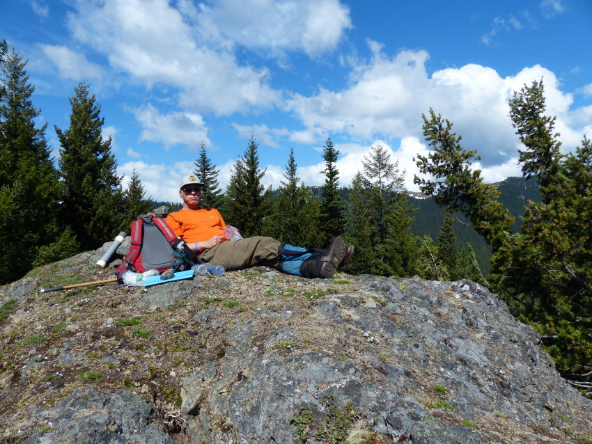
| Fagin resting on top of Ranger Peak @ Dennis Long |
Driving Directions: From Enumclaw drive east about 28 miles on State Route 410, park on the left side of the highway parking is limited. Need trail pass.
Trail is about 2 miles east of FS 73
Trail stats: Hike on trail number 1198 can go 2.5 miles (one way) to the a view point which is a 1000 foot gain. Or you can hike 3.7 miles (one way) to second viewpoint.. If you go to Ranger Peak just off the trail about 6.5 miles in one way
Directions are the best estimate. Please bring map and compass and GPS.
Custom Weather Forecasts Services
 |
| Click to check out our forensic & custom weather services |
Email us West Coast Weather
Contact us


No comments:
Post a Comment