May 24, 2017
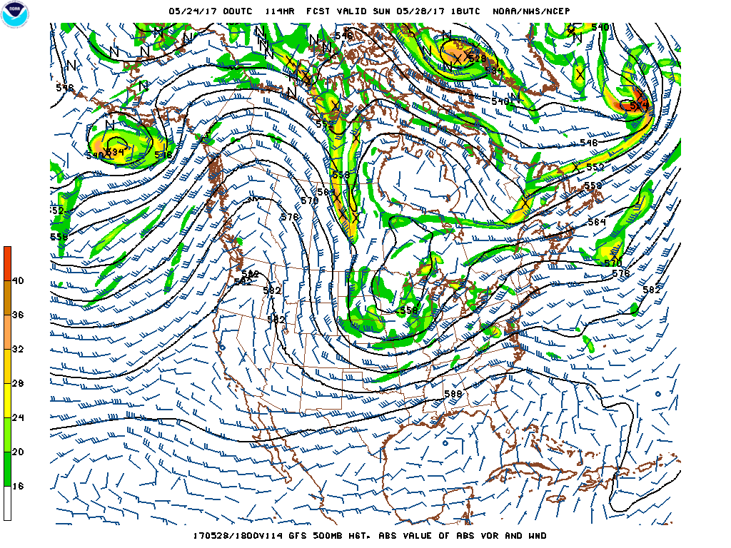
Starting this weekend and continuing through at least early next week models bring a strong upper level ridge of high pressure. This will bring above normal temperatures and below normal precipitation. In fact some models keep this pattern in place through June 6, which I'm not confidence it will stay in place that long but we will see. One thing seems for certain this ridge stays in place through at least early next week.
 |
Upper level Ridge for Sunday May 28
|
Custom Weather Services
from Weather Experts
 |
| Click to check out our forensic & custom weather services |
Email us West Coast Weather
Contact us
No comments:
Post a Comment