Updated 8-12-2015
Trail is located just east of North Bend that offers nice views of Mt. Rainier from the top. Best day to go is today or this Thursday. This Sunday should also be good.
 |
| View of Mt. Rainier from the top |
 |
| Weather station at the top in the summer |
 |
| Weather station at the top taken several years ago in a snowy winter @ Dennis Long |
 |
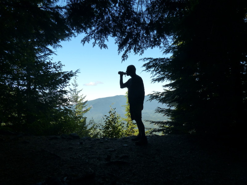
| At the Owl Spot , Michael drinking again @ Dennis Long |
 |
| Views along the trail close to the top @ Dennis Long |
Driving Directions: From Seattle drive east on I-90 to exit 38 after the exit turn right and take the first right turn into Ollalie State Park, a few hundred feet from the highway. Follow the gravel road to the end, parking near the bathrooms at the west end of the lot.
Trail Stats: Start a short path next to the restroom that climbs to a roadbed leading to
the Iron Horse Trail; here, turn right. In a short distance (less then 1/8 of a mile) there is a trail (left) that is not marked that leads into forest. Make sure you have a good map and compass and GPS as parts of the trail are NOT marked. 8.6 miles roundtrip and 3200 feet gain.
Disclaimer: There are many factors which you should consider in
deciding whether to proceed with an outing, including the visible
weather at the trailhead, the strength and experience of the party, snow
and avalanche conditions, route conditions, etc. You are the final
decision maker whether to proceed. West Coast Weather, LLC dba
Washington Online Weather cannot be held liable for loss or injury
arising from your decision to proceed, and expressly disclaims all
liability related thereto.
Redmond, Washington USA. Also, please bring map-compass and GPS to help
with trail directions as our directions are our best estimate.
Custom Weather Forecasts Services
 |
| Click to check out our forensic & custom weather services |
Email us West Coast Weather
Contact us


No comments:
Post a Comment