Starting today the Northwest will have a weak ridge of high pressure that sets up just off our coast (see map below) and this will tend to bring temperatures close to normal with normal or perhaps below normal mountain snow. The patterns will certainly change from day to day but this is average pattern we will see between now and 12-24-2013
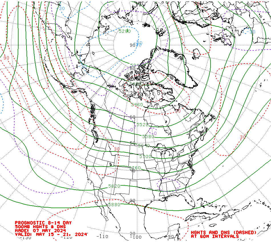 |
| 500 mb map at 18,000 feet through 12-24-2013 |
No comments:
Post a Comment