Updated August 14, 2013
We have several different hikes. First one is at Mt. Rainier Park. Also please check out our extended forecast which is the next blog post.
 |
| Marmot might be waiting for you | | | |
Bring your Green Trails Maps- One of the 10 essentials.
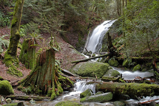
Hike number 1: Sourdough Ridge -Frozen Lake-Shadow Lake Loop
 |
| Part of the hike is on ridge with great views. |
 |
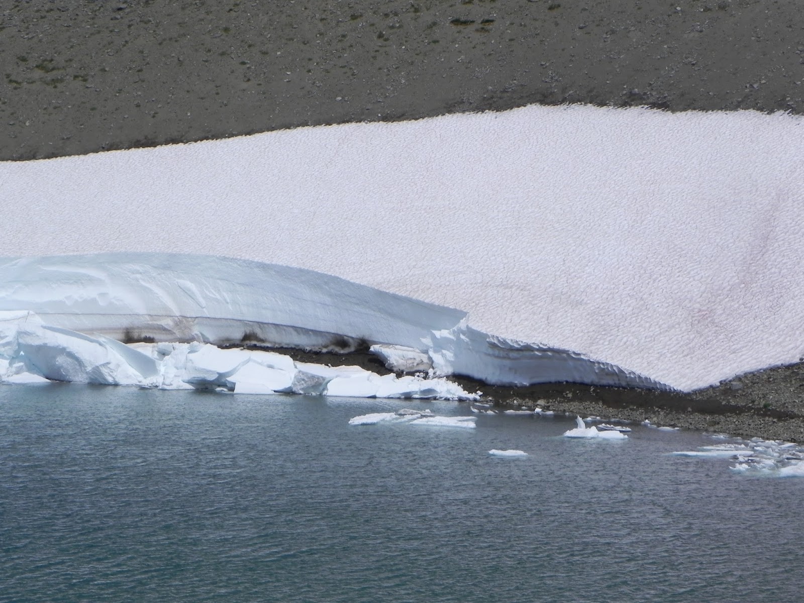
| Frozen Lake always has some snow. |
 |
| Wildflowers are a-plenty. |
 |
| Shadow Lake with a walk in camp nearby. |
| |
Driving directions:From Enumclaw, drive east 43 miles on State Route 410 to the Mount Rainier National Park White River Entrance. Veer right onto Sunrise Road and follow it 17 miles west, to the large parking lot and visitor center at the road's end.
Trail stats: 3 miles roundtrip and 500 foot elevation gain
Hike number 2- Lake to Lake Trail- Bellevue
 |
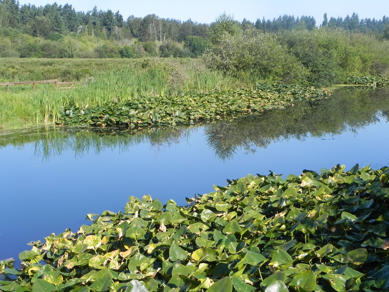
| Water lilies next to Mercer Slough. Great hike or canoe trip! |
 |
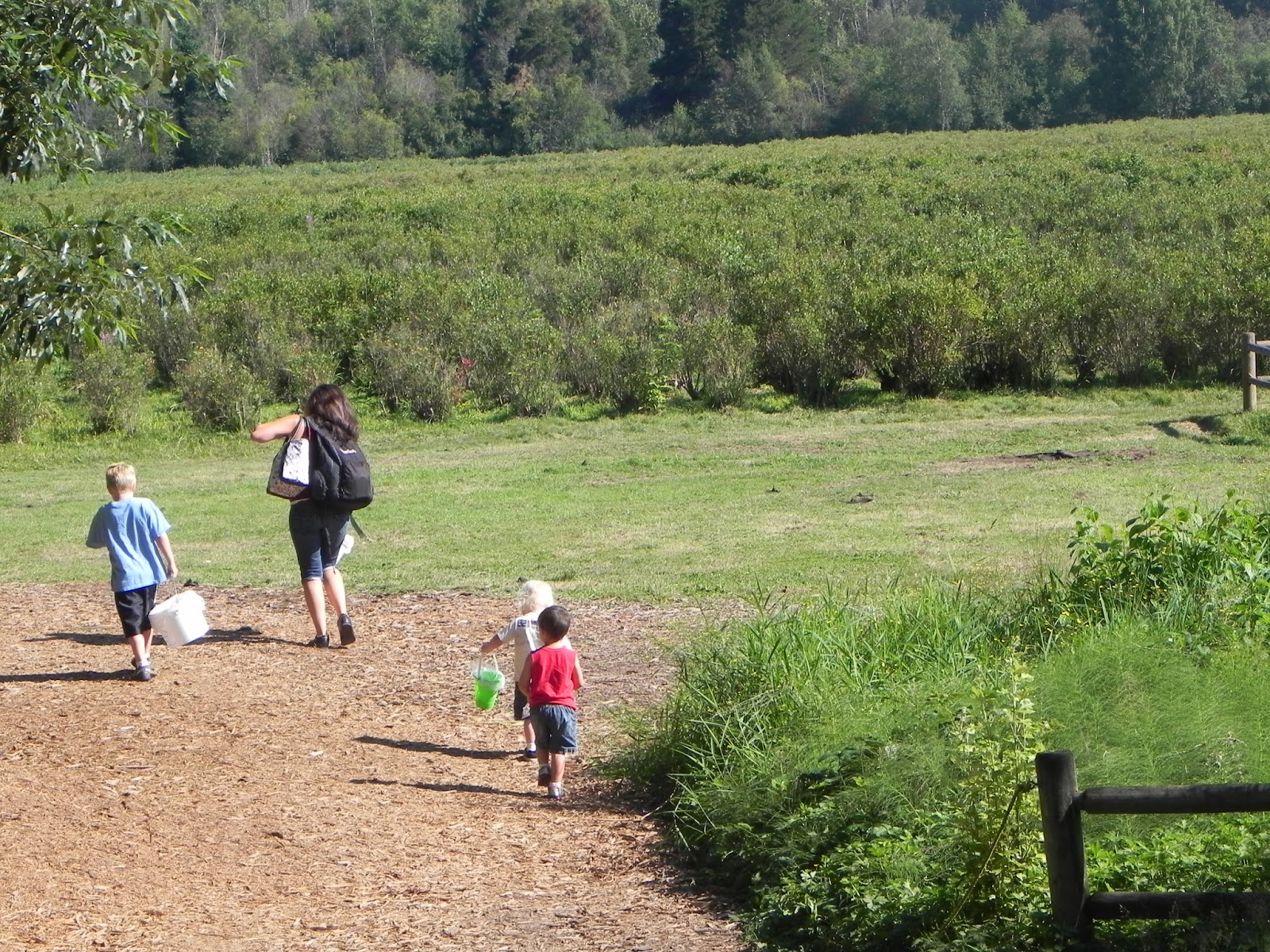
| Mercer Slough Blueberry Farm U pick-it and the kids are ready! |
Directions: Park at South Bellevue Park and Ride or at Mercer Slough Blueberry Farm
Stats: Easy, flat hike. You can hike as much as 10 miles or just 1 mile.
Hike number 3- Coal Creek Falls- Bellevue
.jpg) |
| Falls really flow in late fall- winter. Photo by Alan Bauer | |
Directions: From I-90 take exit 13 onto Lakemont Boulevard. Drive south on Lakemont Boulevard, which becomes Newcastle-Coal Creek Road. After crossing "The Pass" and starting down, cross Coal Creek and find the trailhead on the east side of the road at a sharp bend in Newcastle-Coal Creek Road.
Stats: 2.5 miles roundtrip and 350 foot gain.
Ready for a food break? Time for a stop in Bellevue.
Hike number 4 - Kendall Katwalk
 |
| Views from the top @ Brian Fagin |
 |
| Trail near the top and dog friendly hike @ Brian Fagin |
Driving directions: From Seattle drive I-90 to exit 52 and at the the exit ramp, turn left (north) and cross under the freeway. In about 100 yards, turn right onto a dirt road leading into the PCT trailhead.
Trail Stats: 11 miles roundtrip, 2700 foot gain high point 5400 feet. Also at 2.5 miles take the right fork to Pacific Crest Trail.
 |
| Click to check out our forensic & custom weather services |


.jpg)


No comments:
Post a Comment